Address
99 Foster Dr, Sault Ste Marie, ON, Canada
Get in touch
705-942-7927
Follow us
555-555-5555
info@ssmic.com
acorn logo

GIS Solutions

HARNESSING THE POWER OF PLACE

ACORN GIS

Acorn Information Solutions is a pioneer in Location Intelligence and GIS projects providing analytical and operational solutions across organizations. Our teams lives and breathes GIS solutions and we will help you implement spatial imaging for your projects.

GIS Services

  scroll through our suite of services

  • GIS Consulting

    Strategic planning, business consulting, enterprise consulting and technical consulting services 

    1 of 9

    Button
  • ArcGIS Hub Solutions

    Create and assist with set-up of ArcGIS Hub sites on ArcGIS Online or ArcGIS Enterprise for displaying and analyzing engaging map-centric websites. 

    2 of 9 

    Button
  • Utility, Transportation and Infrastructure Mapping

    We can transform traditional municipal and utilities data sets into cohesive, digital datasets stored within Enterprise GIS systems. 

    3 of 9

    Button
  • Digital Mapping

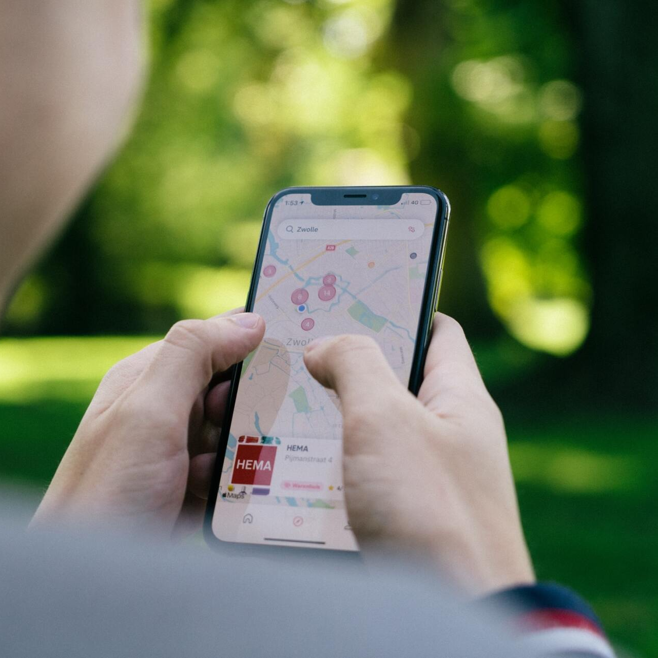
    We create single-use static maps or full-scale, dynamic, web-enabled mapping solutions to visualize assets and data attributes. We have mapped everything from municipal and utilities assets to outdoor trails; and everything in between. 

    4 of 9 

    Button
  • Community Analysis and Mapping

    Benefits of informed analysis and mapping include the early identification of issues within communities, assisting with service delivery and storing, maintaining and interpreting data among different partners and stakeholders. 

    5 of 9 

    Button
  • Site Analysis

    We can assist with finding prime locations for land development or ideal placement of new ventures and internal or external development. 

    6 of 9 

    Button
  • Geocoding

    We create custom tools within the ESRI suite of software and assist with spatial placement of locations or assets to assist in locating those features on map documents in both web or desktop environments. 

    7 of 9 

    Button
  • Strategic Planning

    Establishing direction in creating, consuming, and maintaining digital location intelligence services. 

    8 of 9 


    Button
  • Software Development

    Custom GIS web solutions, desktop and ESRI ArcGIS extension programming and data warehousing. 

    9 of 9 

    Button

ArcGIS Utility Network (UN) Migration Services

Migration to ArcGIS Utility Network (UN) is more than a simple software upgrade; this generational leap in technology requires planning for all components and experts with knowledge in both platforms.


Acorn has a proven record of developing and customizing corporate GIS solutions across many municipalities and utilities. We are ready to help you migrate your current GIS to this new platform. In 2022 we developed the MonARC service offering; a collection of GIS services that help municipalities and utilities migrate their existing GIS to the modern UN based ArcGIS Enterprise platform.

Who Cares?


  • Need to find the most accessible and impactful locations for a program or service?

    We can combine spatial layers like road/walking networks, public transportation networks, community assets, socio-demographic variables, client rosters, waitlists, and survey results to find you the best results when location planning.

  • How prepared are you during an emergency?

    We can model chemical spills, analyze transportation networks, and assess risk for events such as flooding.

  • Do you need existing maps or datasets digitized?

    Acorn works with you to bring your maps to a digital format. GIS can be beneficial in cataloging and protecting areas of cultural significance, mapping traditional knowledge, and more.

  • Do you need to improve your public health processes?

    GIS is widely used in public health and healthcare.  Location-based GIS analysis can connect important information for public health programming and policy.  Maps and analytical products help answer the “where” and “who” questions related to health and provide evidence and tools to bring stakeholders together.

  • Do you need to find gaps or predict demands in services?

    We conduct environmental scans to map community assets and track participation in programs or services to find areas of success and potential gaps in service. We analyze client rosters/served individuals in relation to the broader population to determine participation rates (or uptake) of a service or program.

Have a Question?

Send us a message and we'll get back to you as soon as we can!
Contact Us

Share by: